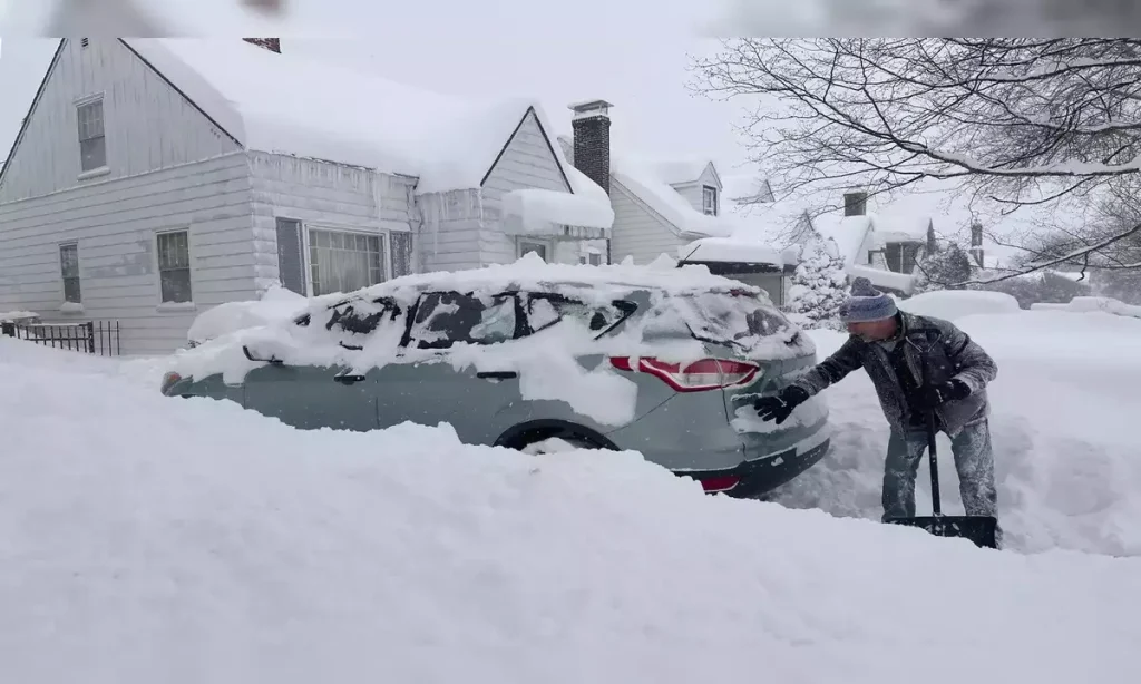
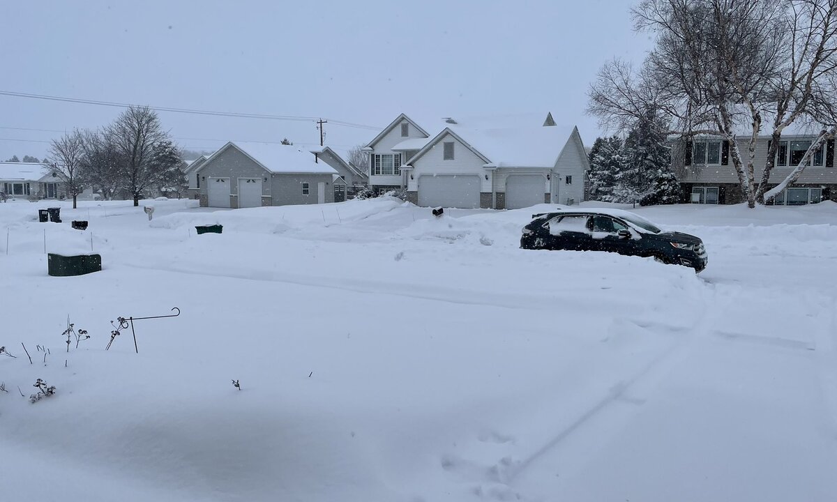
Portland, ME – A fast-moving winter storm is set to bring heavy snowfall to Maine and New Hampshire starting Sunday afternoon, according to the National Weather Service (NWS). The storm is expected to intensify through the evening, with snowfall continuing into early Monday morning, potentially disrupting the start of the workweek.
Snowfall Projections and Areas Affected
The NWS has issued a Winter Storm Watch covering key areas, including south-central Maine, Downeast Maine, and central New Hampshire, with cities like Portsmouth and Concord likely to be affected.
Southern Maine and Central New Hampshire: Expected to receive over 6 inches of snow.
Coastal Downeast Maine: May see up to 9 inches of snow, with localized heavy bands producing snowfall rates of up to 2 inches per hour.
Residents in these areas should be prepared for significant accumulations, especially in regions where the snowfall will be most intense.

Hazardous Travel Conditions Predicted
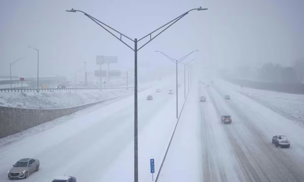
Blowing snow, combined with strong wind gusts of up to 35 mph, is expected to reduce visibility significantly. This could make travel conditions dangerous, particularly during the evening hours on Sunday and the Monday morning commute. Snow-covered roads, reduced visibility, and slick driving surfaces are likely to cause delays and disruptions.
Preparation Advice from the NWS
The National Weather Service is urging residents to take precautions ahead of the storm. Here are some of the key recommendations:
Monitor Weather Updates: Stay informed by following local weather forecasts, as conditions can change quickly.
Winter-Ready Vehicles: Ensure your vehicle is equipped with winter tires, emergency supplies, and a full tank of gas in case of delays.
Travel Safely: If you must travel, allow extra time, drive cautiously, and be prepared for sudden changes in road conditions.
Stay Indoors: If possible, avoid unnecessary travel during the storm to reduce risks.
Potential Impact on the Monday Morning Commute
With heavy snow expected to continue into early Monday morning, the timing of this storm could significantly affect the start of the workweek. Snow-covered roads and low visibility are likely to make the commute challenging for many. Commuters are advised to plan ahead, leave early if necessary, and consider alternative routes to avoid the worst conditions.
Local authorities may deploy plows and sand trucks to help clear roads, but it’s important to remember that conditions may remain hazardous even after initial snow removal efforts.

What Residents Need to Know
The Winter Storm Watch serves as an early warning for residents to take necessary precautions. Here’s a breakdown of what to expect and how to prepare:
Timing: Snowfall will begin Sunday afternoon, intensify through the evening, and taper off by Monday morning.
Heaviest Snowfall: Coastal Downeast Maine could see the most significant impact, with snow falling at rates of 2 inches per hour in some areas.
Wind and Visibility: Blowing snow and gusts up to 35 mph may create whiteout conditions, making travel extremely difficult.
Localized Snowfall and Wind Effects
While the overall storm is expected to bring widespread snow, certain areas may experience heavier snowfall and stronger winds due to localized weather patterns. Coastal areas, in particular, are likely to see the most dramatic impacts.
In addition to snowfall, blowing snow could lead to drifting, making it harder for plows to keep roads clear. Residents living in rural or coastal areas should be prepared for extended disruptions and ensure they have enough food, water, and other essential supplies.
Be Prepared for Changing Conditions
Winter storms in New England are known for their unpredictability, and this storm is no exception. Forecasters warn that conditions could change rapidly, especially with shifting snow bands and wind gusts. Residents are encouraged to check for updates frequently and be ready to adjust their plans.
Staying Safe During the Storm
The best way to stay safe during the storm is to stay informed and prepared. If you live in an area under the Winter Storm Watch, consider the following safety measures:
Stock up on essentials like food, water, and batteries in case of power outages.
Keep your mobile devices charged and have a backup power source ready.
Stay indoors during the peak of the storm to avoid hazardous conditions.
Disclaimer—Our team has checked this article to ensure its accuracy and eliminate any misinformation. We are committed to providing clear and reliable information for our readers.


