
After a powerful winter storm swept through Iowa and Minnesota, the snowfall has finally stopped, and the skies are clearing up. The storm brought heavy snow to multiple areas, leaving roads covered and travel conditions challenging. But with sunshine making a return, things are slowly getting back to normal.
Here’s a breakdown of how much snow fell in different areas during the blizzard:
- Lakota, IA – 14.5 inches
- Storm Lake, IA – 13.0 inches
- Algona, IA – 12.5 inches
- Buffalo Center, IA – 11.0 inches
- Fort Dodge, IA – 9.5 inches
- Chatfield, MN – 8.5 inches
- Clear Lake, IA – 7.5 inches
- Spring Valley, MN – 7.0 inches
- Austin, MN – 6.8 inches
- Fillmore, MN – 6.4 inches
- Rochester, MN – 5.5 inches
- Thornton, IA – 5.0 inches
If your town isn’t listed, don’t worry! You can still share your snowfall reports with local weather services to contribute to accurate records.
How the Blizzard Impacted the Region
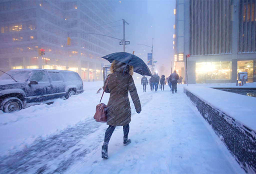
This storm was no joke—it left behind a thick blanket of snow, making travel nearly impossible in some areas. Many roads were covered in ice, and some schools even had to close due to hazardous conditions. Cities like Lakota and Storm Lake saw some of the highest snowfall totals, with over a foot of snow recorded.
Fortunately, as the storm moves out, temperatures are expected to rise slightly, making cleanup efforts easier. Plows are working hard to clear major roads, and salt trucks are helping to melt the ice. However, drivers are still advised to be cautious, as some roads remain slippery.
What’s Next for the Weather?
With the blizzard now over, forecasters predict sunny skies and calmer conditions for the next few days. While the snow won’t disappear overnight, the sunshine will help with melting, and roads should gradually improve.
If you’re planning to head out, be sure to check road conditions and drive carefully, especially in areas that received the heaviest snowfall.